Overview
Surveying technicians take measurements of land and use geographic data to chart maps of the earth’s surface. They collect data, assist cartographers and surveyors and visit various land and project sites. Sheridan College’s Surveying Technology Program will prepare you for a career in the growing field of surveying and mapping. This associate of applied science program meets the degree and course requirements to sit for the Wyoming Professional Land Surveyor Exam.
Sheridan College’s Associate of Applied Science Degree in Surveying Technology will give you the background and technical training you need to launch your career in surveying or enhance your current career. We partner with the University of Wyoming’s Outreach School/ College of Engineering to bring you courses such as Computer Aided Design, Engineering Graphics, Real Property Law, Engineering Surveying, Public Land Survey, GPS for Land Surveys, Introduction to Geographic Information Systems (GIS), Route Surveying, and more.
Why Sheridan College?
- Our program focuses on preparing you to sit for the state licensing exam through the Wyoming Board of Professional Engineers and Professional Land Surveyors.
- You will have the opportunity to take courses from Sheridan College, as well as the University of Wyoming.
- Sheridan College partners with the University of Wyoming to ensure you are trained in proper surveying and mapping techniques to succeed as a licensed surveying technician.
Careers & Industry Outlook
Increased demand for map information is expected to require surveying and mapping technicians to gather and prepare related data. Although drones and other advancements make some aspects of survey work more efficient, surveying and mapping technicians will continue to be needed to review and interpret the output of these technologies to ensure accuracy and completeness.
Industry Projections
- Employment of surveying and mapping technicians is projected to grow 6 percent from 2023 to 2033, and about 7,600 openings for surveying and mapping technicians are projected each year, according to the U.S. Bureau of Labor Statistics.
- The Bureau of Labor Statistics states that the median annual wage for surveying and mapping technicians was $51,940 in May 2024.
Job Types
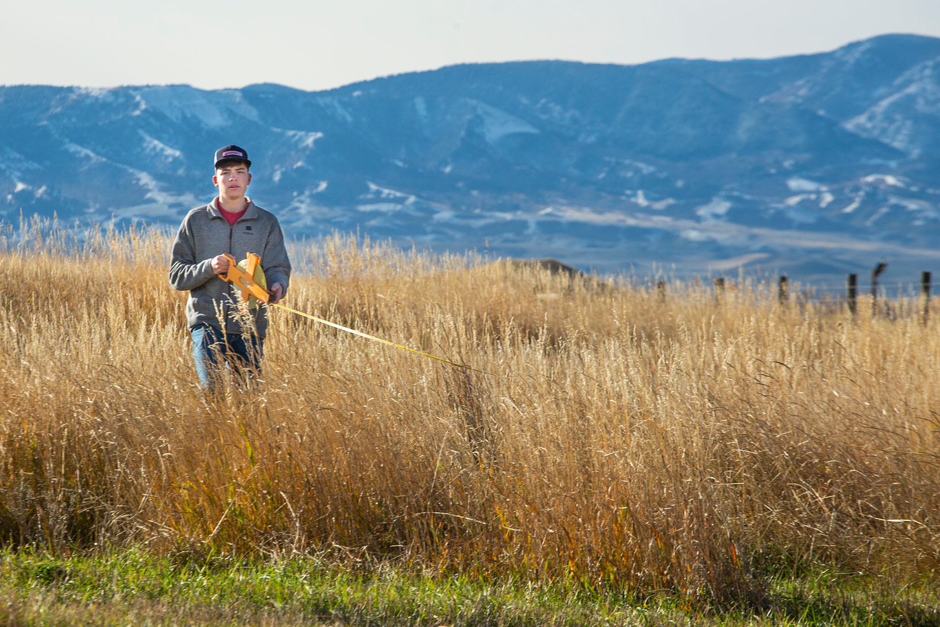
Many surveying technicians work in the outdoors, measuring lands and collecting data to create maps and assist surveyors. Sheridan College’s Surveying Technology Program, which partners with the University of Wyoming to provide you a comprehensive background of the field, will prepare you for the Wyoming Professional Land Surveyor exam. As a surveying technician, your job responsibilities may include:
| Measuring Land and Project Sites |
| Assisting Surveyors |
| Working Outdoors |
| Creating and Charting Maps |
| Collecting Geographic Data |
Curriculum & Offerings
Associate of Applied Science Degree
The Surveying Technology AAS is a collaborative program with the University of Wyoming. The curriculum emphasizes drafting, field computations, survey law, and legal applications, as well as provides a general education towards the completion of an associate’s degree. Upper-level surveying courses are offered through the UW’s Outreach program as part of UW’s Certificate in Cadastral Surveying. UW’s courses articulate with the NWCCD program to meet degree requirements.
Program Outcomes
- Implement procedures for the use and care of field equipment.
- Apply math, science, and technology in surveying activities.
- Identify the surveyor’s role in a land information system.
- Effectively communicate information in these formats: written, oral, mathematical, and graphical.
- Apply real property law as it relates to land surveying.
- Perform a boundary survey and preparation of a plat using appropriate Wyoming standards and laws.
Scholarships
We make it easy. $3.7 million in scholarships awarded annually.
Financial Aid
Let us help you navigate the numerous financial aid opportunities available.
Faculty
Our faculty at Sheridan College are committed to helping you set and achieve your academic and career goals. Whether you are interested in joining the field of surveying technology or you are already an industry professional, our expert faculty will teach you the fundamental skills, from surveying and mapping to data collecting using Geographic Information Systems, to enhance your career.

Related Programs
Looking to add some other skills to your toolbox? There’s a variety of options to explore.